


21 May 2020
NATURAL RESOURCES
The Department of Survey and Mapping Malaysia uses V110 rugged computer to enhance land surveyors’ digital mapping efficiency
All-workday operation
Survey-quality GPS
Increased capability and performance
Background
Geographic information systems (GIS) are critical for development planning, policy implementation, and disaster prevention and forecast, with GIS deployment and maintenance important to national spatial data infrastructure (NSDI). While making people’s lives more convenient, GIS keeps a record of landscape information at different times, including terrains, mountains and rivers, as well as human activities such as land use, settlement distribution, and political territories. In other words, it presents an overview of the people and objects and their interactions with the surroundings at a particular time and in a particular space.

Challenge
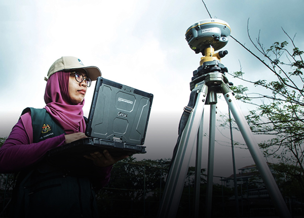
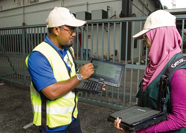
JUPEM needed a rugged device that operates in tropical heat and humidity, and stays connected on mountains, islands, and in other remote locations.
The Department of Survey and Mapping Malaysia – Jabatan Ukur dan Pemetaan Malaysia (JUPEM) is in charge of the Southeast Asian nation’s topographic survey and map work, playing an indispensable role in monitoring changes in Malaysia’s cultural life and natural environment.
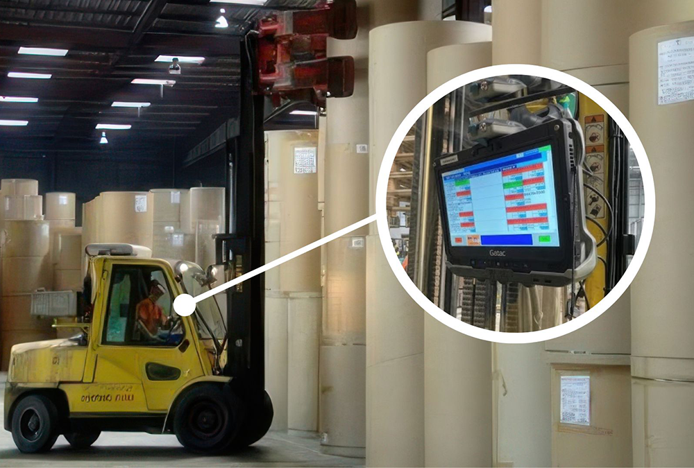
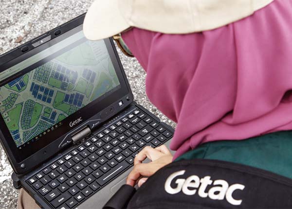
JUPEM often sends field agents to conduct topographic survey and map work, which is critical for the country’s development planning. They make use of GPS-coupled with information systems connected to the database to upload field data, which is then used by the mapping team to update digital maps available for access on the Internet.
JUPEM constantly copes with challenging conditions, such as extreme temperatures and weak signal reception, and needs high-performance rugged computers to help raise their work efficiency.
Solution
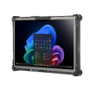
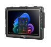
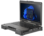
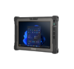
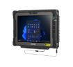
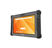
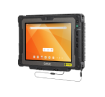
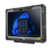
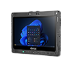
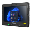
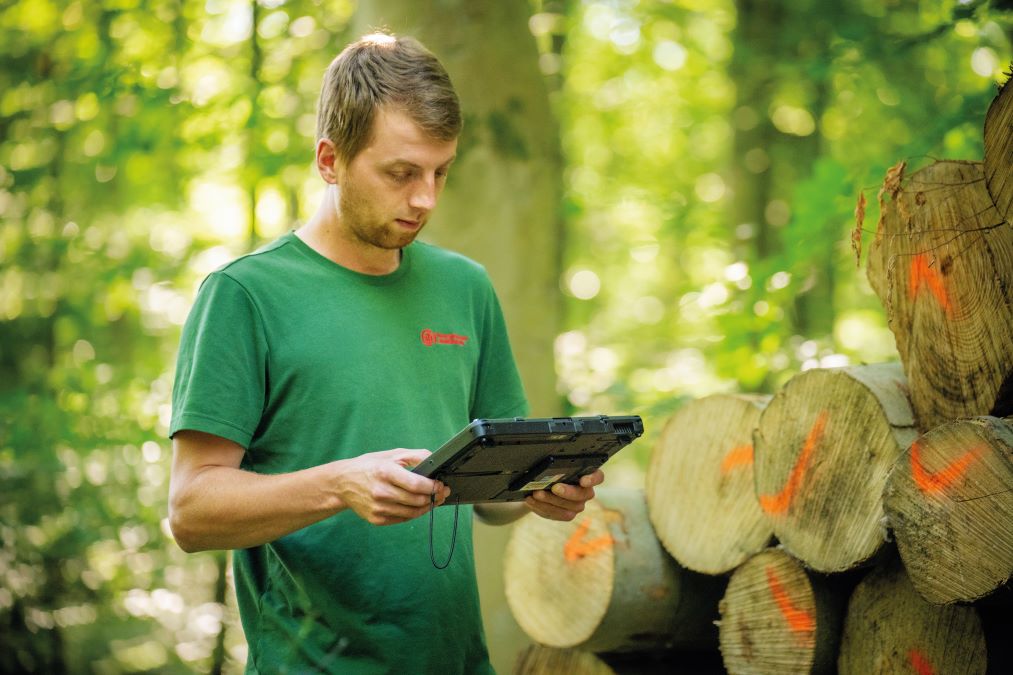
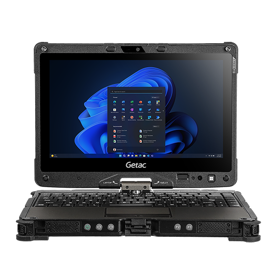
The V110 fully-rugged laptop/tablet hybrid computer proved capable and portable enough for the challenges of survey work.
JUPEM selected Getac’s V110 rugged computer mainly for its fast and precise GPS positioning and long-lasting battery life. Designed for operation in extreme environments, V110 combines mobility, efficiency and safety. Quickly transforming from notebook to tablet, V110 flexibly supports surveyors whether they are working indoors or outdoors.
The V110 provides accurate GPS coordinates at a fixed location. Using a Tri-Passthrough antenna, the V110’s GPS offers 2x search capacity, faster location positioning, and enhanced accuracy when obtaining latitude and longitude coordinates.
The V110 also features an 11.6-inch display enabling clarity even in direct sunlight. Tested and certified to MIL-STD-810G and IP65 dustproof and waterproof standards, the V110 can operate in up to 60°C heat, guaranteeing risk-free operation for people working outdoors.
Benefits
JUPEM surveyors are able to complete their field assignments in extreme environments without a hitch thanks to the Getac V110.
Supported by Getac partner Cutz Technologies Sdn Bhd, JUPEM now enjoys robust computing performance in a rugged package. JUPEM is particularly satisfied with the V110’s GPS and battery performance. Fast and accurate GPS positioning is instrumental to field survey and mapping work. It makes their work easy, efficient, and hassle-free.
What’s more, the V110’s hot-swappable dual-battery enables long shifts in the field without stopping to charge, delivering significant improvements in work efficiency and ample time for personnel working to deal with problems arising from ever-changing outdoor conditions, thereby minimizing risk. They can also prioritize their tasks with maximum flexibility and carry out their field assignments in a more precise and timely manner.
The users in the land and survey department of Malaysia have given us the onus to deploy V110 as the field communicator on their field application for e-Kadaster. We have deployed nationwide across eleven states for the cadastral department field surveyors.
TROY CH’NG WE KIAT, General Manager
Cutz Technologies Sdn. Bhd
About JUPEM
The Department of Survey and Mapping Malaysia (JUPEM) is in charge of the nation’s topographic surveying and mapping work. As a country with a large territory, Malaysia covers different terrains including mountains over 4,000 meters high and tiny islands dotting its coastline, and the temperature can easily reach 40.1 °C, which poses challenging requirements on people and computer systems.
Explore the solutions which are helping JUPEM
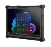
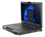
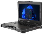
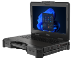
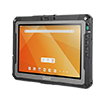
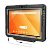
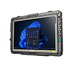
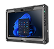
V110 Fully Rugged Convertible Laptops
The Getac V110 fully rugged notebook features outstanding performance, industry-leading security, a large 11.6” widescreen display and a design that is as thin and light as ever – at 2.1kg light and 39mm thin.