
















Key Takeaways
- Survey-grade accuracy in the field depends on the right mix of gear: a GNSS receiver, RTK corrections (base or network), an RTK rover, and a reliable data collector. Getac tablets and laptops like ZX10, UX10, F120, V120 and ZX80-EX can capture evidence and keep teams connected.
- RTK and Network RTK deliver real-time, centimeter-level results; PPK and Static workflows deliver high accuracy post-survey. Getac’s LumiBond sunlight-readable displays and digitizer options help surveyors validate points and annotations on-site.
- Ruggedization matters. MIL-STD-810H and IP66/IP67 ratings on Getac devices reduce failure rates, while hot-swappable batteries and vehicle/office docks maximize uptime in the field.
- Advanced connectivity and positioning improve throughput: Wi-Fi 6E/7, 4G/5G with integrated L1/L5 GPS, dedicated GNSS, and RF pass-through in Getac hardware keep rovers, base stations, and cloud GIS synced.
- Getac Essential Suite streamlines device enrollment, policy control, monitoring, OTA updates, and multi-app GPS data sharing, so survey teams stay productive and protected.
What is GPS topographic survey equipment?
GPS topographic survey equipment is a set of tools used to capture the position and elevation of natural and built features. Modern systems center on a GNSS receiver, corrections source, a rover, and a data collector that runs surveying software to log points, attributes, photos, and forms.
What equipment is needed for a topographic survey?

- GNSS receiver with survey-grade accuracy (multi-constellation GNSS, often with L1/L5 support)
- Corrections source: RTK base station or Network RTK service
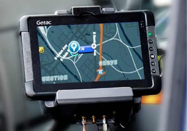
- RTK rover for real-time point capture
- Data collector for control, coding, QA, and forms (Windows or Android)
- Optional: total station for line-of-sight work, range poles, external radios, bipods/tripods, and field power
Which GPS/GNSS survey techniques deliver the best results?

Real-Time Kinematic (RTK)
Uses a base station to send real-time corrections to a mobile rover for near-instant centimeter-level positions.

Network RTK (NRTK)
Uses multiple base stations and a central server to send corrections via cellular, ideal for urban areas.

Post-Processed Kinematic (PPK)
Data is processed after the survey rather than in real-time, useful for high accuracy when connectivity is limited.

Static Surveying
Involves long observation times at fixed points for the highest level of precision on baselines and control points.

Differential GPS (DGPS)
Uses a fixed base to correct signals for applications demanding high precision but not necessarily centimeter-level results.
Which rugged devices best support GPS surveying workflows?
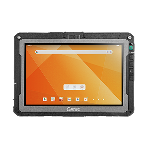
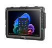
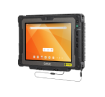
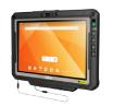
Android | 10.1-Inch
ZX10
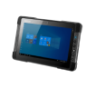
Light, fully rugged, hot-swappable dual batteries, Wi-Fi 6E, optional 4G/5G and dedicated L1/L5 GPS. Ideal as an RTK data collector with big daylight-readable display.
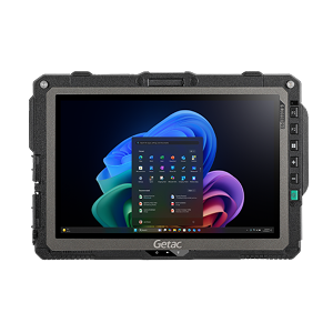
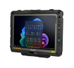
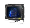
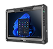
Window | 10.1-Inch
UX10
MIL-STD-810H, IP66, hot-swap, Thunderbolt 4, optional 4G/5G with integrated GPS. Great for Windows-based RTK/CAD/GIS.
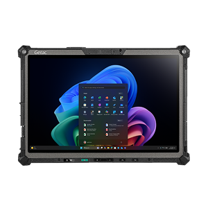
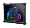
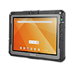
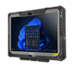
Window | 12-Inch | Copilot+ PC
F120
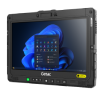
Wi-Fi 7, dual Thunderbolt 4, optional 4G/5G with L1/L5 GPS, narrow-bezel 1200-nit LumiBond display, tool-less design, hot-swappable batteries. Built for heavy GIS, CAD, and photo/video documentation.
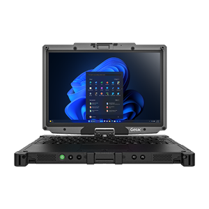
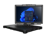
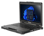
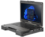
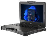
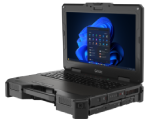
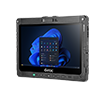
Windows Laptop | 12.2-Inch
V120
Fully rugged with Wi-Fi 7, dual Thunderbolt 4, hot-swappable batteries, and optional 4G/5G and GPS. Laptop power in compact form for mixed GIS/office tasks.
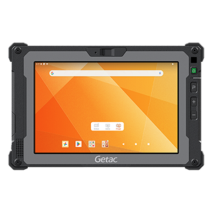
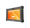
Android | 8-Inch
ZX80
Compact, MIL-STD-810H, IP67, hot-swap battery, and glove-touch displays for field use.
How does Getac software improve field surveying productivity?

Getac Management
A Cloud-based configuration and management solution that brings scalability, precision, and over- the-air convenience to Getac Android ownership.

Getac Monitoring
Centralized, cloud-hosted dashboard to watch battery health, storage, firmware versions, device location, and utilization to prevent downtime.

Getac Virtual-GPS
Share one GPS feed across multiple apps simultaneously, enabling RTK, GIS, and logging tools to run in parallel without conflicts.

OEMConfig
Unlocks enhanced Android settings for antenna, GNSS, radios, and more within AER-compliant EMMs.
What specific Getac features improve productivity?

Sunlight-Readable Displays
LumiBond 2.0 technology ensures screens are visible in direct sun and remain functional in rain or while wearing gloves.

Digitizer Options
Precision digitizer pens allow for accurate data entry, handwritten notes, and redlining on-site.

Durable Hardware
Devices are MIL-STD certified to withstand extreme temperatures (-29°C to 63°C), shock, water, and drops.

Virtual-GPS (VGPS) Utility
Shares one GPS feed across multiple Windows applications simultaneously, allowing RTK, GIS, and logging tools to run in parallel without conflicts.
Where is GPS topographic surveying used most effectively?

Environmental & Natural Resource Management
Tracking landscape changes and monitoring endangered habitats.

Land Surveying & Property Management
Determining precise property lines, plots, and boundary surveys.

Transportation & Infrastructure Planning
Providing detailed data for roads, railways, and airports.

Construction & Development
Site planning, layout, and precise infrastructure placement.

Disaster Management
Mapping affected areas, determining safe zones, and planning evacuation routes.
How are GPS and GNSS technologies evolving?
- Multi-constellation and multi-frequency receivers improving speed to fix and resilience
- Wider availability of Network RTK
- AI-enhanced field apps and cloud analytics for automated QA and feature extraction
- AR-assisted visualization for underground assets and complex layouts
- Tighter IoT integration, edge computing, and better positioning algorithms
FAQs
- GPS: Refers specifically to the U.S. satellite system.
- GNSS: Uses multiple constellations (GPS, GLONASS, Galileo, BeiDou, QZSS), improving availability, speed to fix, and reliability in challenging environments. Surveyors typically prefer GNSS receivers for better satellite geometry and performance near trees, buildings, or rough terrain.
It calculates precise positions by measuring signals from satellites, then applies corrections (RTK/PPK/DGNSS) to achieve survey-grade accuracy. The receiver streams data to a data collector for coding, QA, and storage.
It runs the survey software, controls the receiver, stores point data and metadata, and integrates photos, barcodes, forms, and GIS overlays. Rugged Getac devices commonly fulfill this role and can double as your office-in-the-field.
- Total station: Line-of-sight, highly precise angular and distance measurements, ideal for obstructed GNSS environments.
- GNSS: Satellite-based, excels in open-sky topo and large sites, very fast for control, layout, and mapping.
Match equipment to site conditions and output needs: required accuracy, canopy/urban canyons, cellular coverage, integration with CAD/GIS, and power/uptime. Then select rugged computing that can run your apps reliably all day in any weather.
It accelerates data capture, improves positional accuracy at scale, and enables real-time validation with GIS overlays and photos. Combined with rugged, connected data collectors, crews finish more points per day and spend less time reworking.
Conclusion
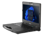
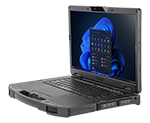
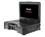
Choosing the right GNSS receiver, corrections method, and data collector dictates how fast and accurately you can deliver. Rugged Getac devices like ZX10, UX10, F120, V120, ZX80-EX, and X600 pair sunlight-readable displays, hot-swappable power, advanced connectivity, and strong security with the Getac Essential Suite to keep survey teams productive from truck to trench.
Additional Resources

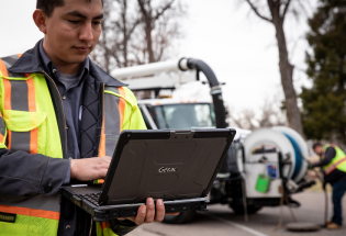
UTILITIES
How Rugged Mobile Devices Improve Customer Service in Utilities and Field Repair
READ MORE →